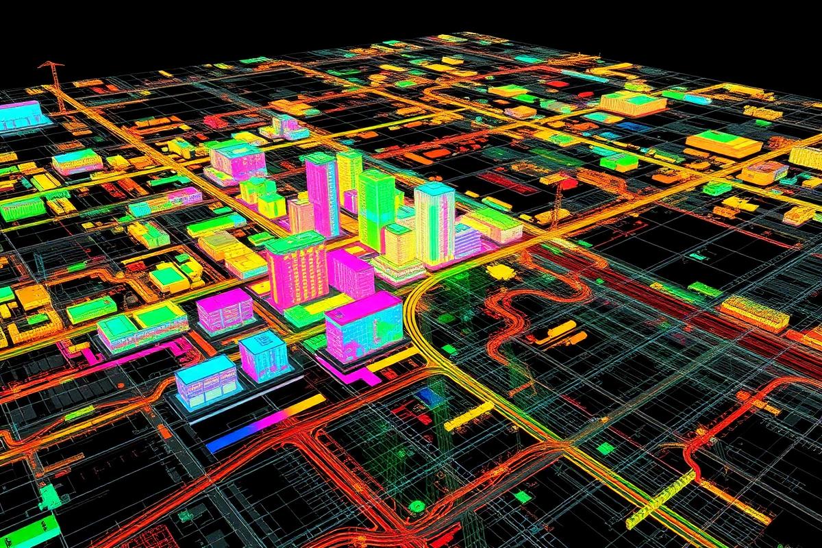
Webinar 01
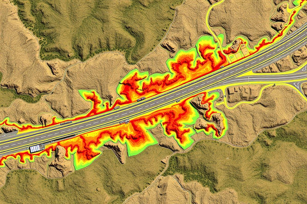
Field Data & Accuracy
Modern Reality Capture for Public Infrastructure
Key questions
- How are leading agencies modernizing field data collection?
- What accuracy is required for asset inventories and engineering workflows?
- How do drone programs reduce cost and improve coverage?
Topics include
Corridor mappingTransportation assetsUtility infrastructureCapital planningConstruction progress monitoringDigital twin foundations
Suggested speakers
Wingtra
State DOT Representative
City GIS Director
Public Works Leader